
Trace Springfield Streets by Address
Start a Springfield address search with the most precise street address available. Lane County Property Permits Search accepts an address, map tax-lot number, permit number, or a selected parcel. The selected parcel gives the key for the next records. A property account can identify the county account, tax lot, situs, and recorded owner. The deed route can then test that ownership lead against a recorded document. A voter record is different: Oregon My Vote is a person’s own confirmation channel, not a street browser. Historic directories can add an address-based clue only when a specific volume includes that route.
- Enter the Springfield address in the permit or property tool and retain the map tax lot or account number.
- Check the county property record for the situs and owner-of-record fields, keeping the fields separate.
- Use the tax lot, legal description, or party name in the recording index to find the related deed.
- Use voter information only through its lawful, limited channels. Do not try to reconstruct protected addresses.
- For an older Springfield address, compare a confirmed criss-cross directory or census reference with the deed date and legal description.
That order keeps the address workflow focused on address-keyed records. It does not produce a live list of everyone along a road.
Springfield Street Records Parcel Keys
Lane County Property Account Information is the practical starting point for an address-based Springfield parcel trail. It permits account, map tax-lot, address, and owner routes. A person’s owner search uses Last First without a comma, while an address search should use the situs, meaning the physical property address. Save the returned account and map tax lot before opening another system. The account display can include TaxPayer and Owner as separate fields, which is why neither field alone proves who is at the property.
| Property field | Search route | Verified format or result |
|---|---|---|
| Account | Property Account Information | Partial seven-digit account number, including a leading zero when applicable. |
| Map Taxlot | Property Account Information | 13- or 16-character key without spaces or hyphens. |
| Address | Property Account Information | Directional address search using the situs address. |
| Owner | Property Account Information | Last First for a person, normal word order for an organization. |
| Easy Property address | Easy Property Information Lookup | Autocomplete suggestions begin after three characters. |
| Easy Property tax lot | Easy Property Information Lookup | 13-digit value; a leading 1000 can narrow a broad result. |
The official Easy Property Information Lookup pairs address suggestions with parcel-map and record views. It can display sales date, deed transfer number, price, assessor code, and map overlays. Read each value in context rather than converting a property result into a household claim.
See the official Easy Property search interface before entering a Springfield address.
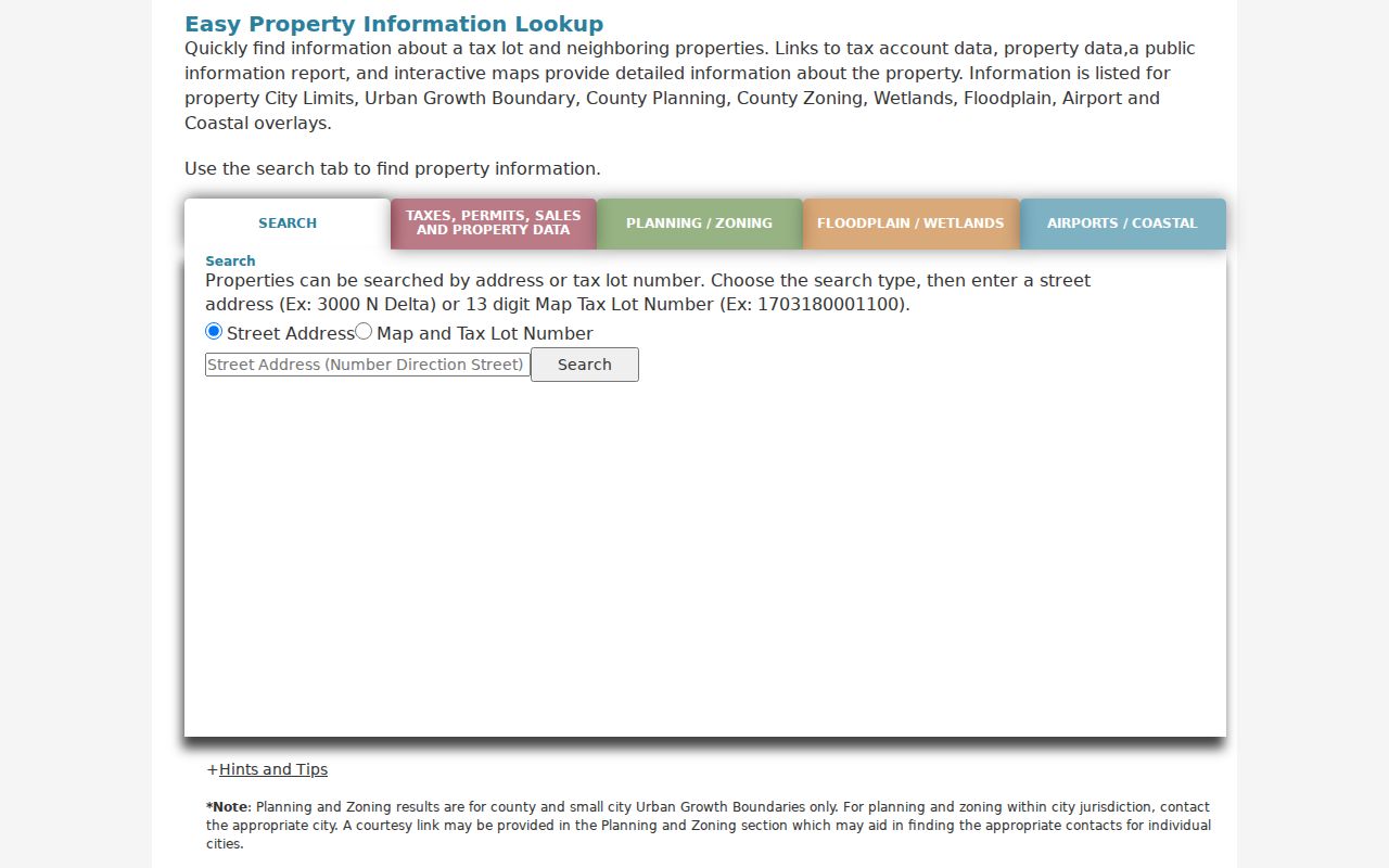
The address suggestion and tax-lot controls make this a useful bridge from a street name to a parcel record.
The Lane County Assessment & Taxation page is the department-level route when an account search needs an office or counter follow-up.
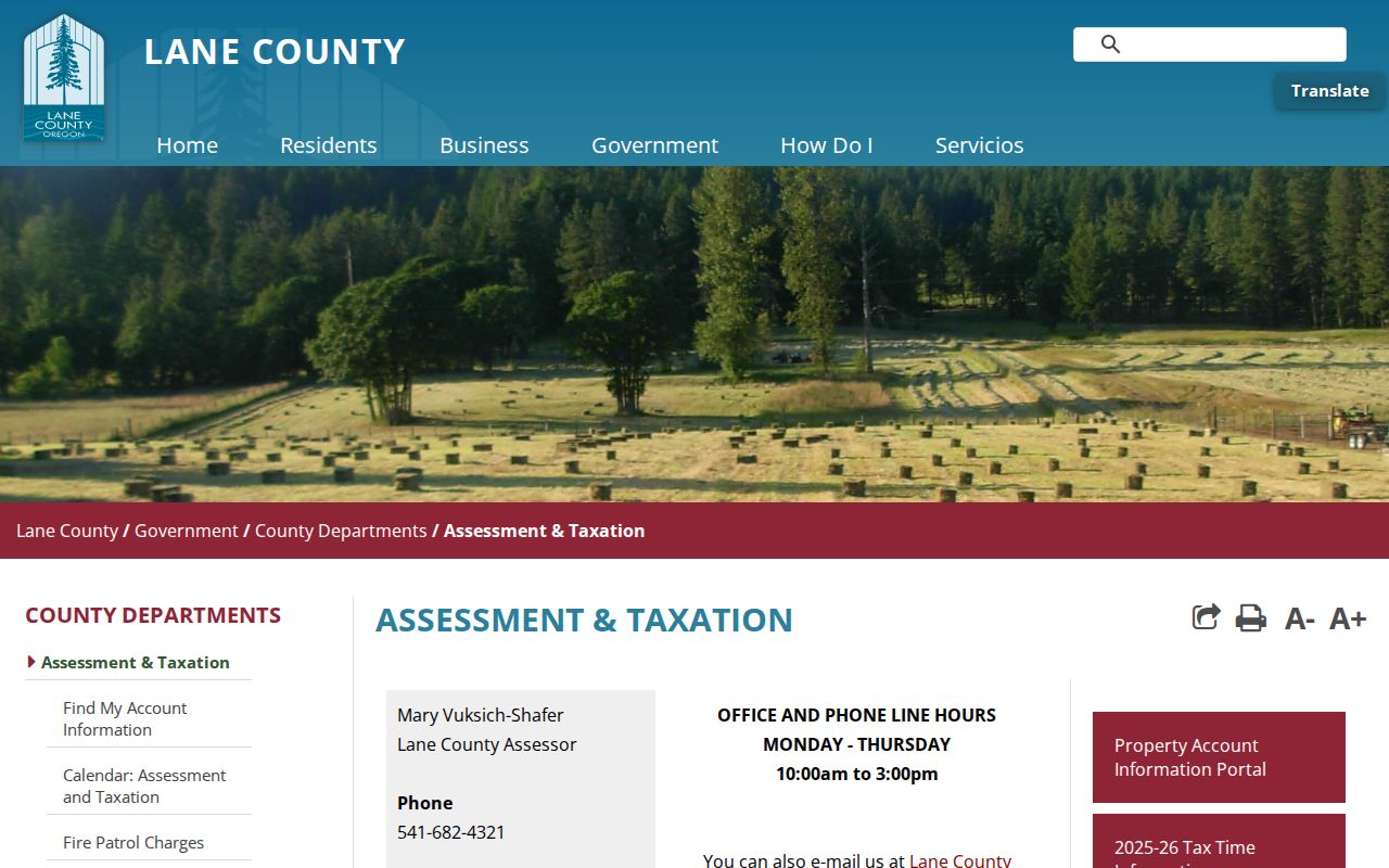
Those service links keep the tax account, property sale, and mapping routes connected without treating them as the same record.
Springfield Address Records Permit Search
Permit history adds a time layer to a Springfield address search. The county permit application supports an address after at least four characters, a 13-digit tax lot, a permit number, or a parcel click. Once a property is selected, the record can be filtered by permit group, date, and status. Detailed records may show an application date, description, status, associated documents, and milestones from June 1, 2012 forward. Those fields describe a parcel or application, not a continuous record of the people who lived there.
| Permit control | Use |
|---|---|
| Address | Choose a suggested location after typing or pasting the address. |
| Map Taxlot Number | Search the 13-digit parcel identifier directly. |
| Permit Number | Use a known number, such as the county’s displayed format. |
| Map parcel | Click the parcel as an alternative to text search. |
The LMD Pro route adds an address search and a Springfield city selection for building, compliance, planning, sanitation, erosion, and other land-management files. It is the county’s deeper permit-history channel when the map application points to a relevant file.
The official permit search shows the address, tax-lot, permit-number, and map-click choices used in this Springfield by-address workflow.
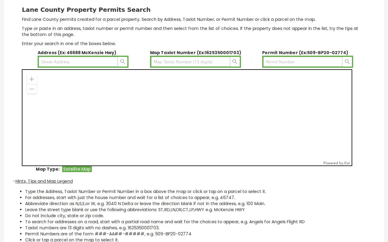
Use the selected parcel as the anchor for later record checks, then read any permit details one file at a time.
Springfield Street Record Routes
Address records in Springfield sit with several custodians. The property route is best for an account and tax lot. County and city GIS are best for placing the parcel among planning, zoning, floodplain, or wetland layers. Recorded documents identify parties and legal descriptions. Permit files provide a construction or development chronology. Each layer has a narrower purpose than a general resident list, so the source and its limits should stay beside the result.
| Address record | What it can show | Access route | Key limit |
|---|---|---|---|
| Property account | Account, parcel, value context, and recorded owner | Assessment tool or department counter | Not an occupant roster. |
| GIS layers | Parcel location and map context | County or city map viewer | Map labels do not establish title. |
| Recorded documents | Parties, filing data, legal description, and available image | RLID or research-library route | Not proof of current residence. |
| Plats and surveys | Lot, block, subdivision, and legal framework | Clerk and archival holdings | May not use a modern address. |
| Permit files | Property or application chronology | Permit Search and LMD Pro | Does not identify every household member. |
For a map-first check, the Lane County Map Gallery and Springfield municipal map layers supply geography. Return to the property or recording source for the record itself.
Springfield Deed Chains by Street
RLID Deeds and Records gives a recorded-document route from a Springfield parcel to the parties on a filing. Its documented fields include party name, instrument number, document type, recording date or year, maplot, and a View action. Results can show document number, document type, recording date, party type, party name, maplot, and a document image link when available. The index refreshes nightly, images generally begin in 1994, and a result set may stop displaying after the first 1,000 matches.
Begin with the latest document tied to the owner, tax lot, maplot, or legal description. Record the grantor, grantee, recording date, instrument number, and legal description. Then search the former owner as grantee around the earlier transfer. A match becomes stronger only when the dates and legal description continue to agree. The recording party could be a trust, estate, lender, or agent, so party name alone is not a current-address finding.
- Document Number identifies the county recording.
- Document Type labels the filing.
- Recording Date places the transfer in time.
- Party Type distinguishes roles such as grantor.
- Maplot can connect a document to mapped property when present.
- View opens the corresponding document image or PDF when available.
Note: The party search indexes record fields, not the complete text inside every document image.
Springfield Address Record Terms
Older Springfield records often need an identifier more stable than a street number. Keep a current address, map tax lot, and legal description together whenever the records supply them. This is especially useful where a deed refers to a lot and block while a current parcel tool displays a situs address. The terms below make it easier to compare results without turning a mailing location into an occupancy claim.
- Parcel
- A mapped unit of land used by the county for property and tax records.
- Situs address
- The physical location of the property. It can differ from the owner’s correspondence address.
- Plat
- A recorded map that lays out lots, blocks, streets, or a subdivision.
- Criss-cross directory
- An address-arranged directory section, available only in volumes that actually include one.
A county mailing address can be a post-office box, a trustee, a management entity, another Oregon address, or an out-of-state address. It is a contact field, not proof that the owner is present at the situs.
Springfield Historic Street Plat Clues
Springfield’s historic core was platted in 1856. In the oldest part of the city, records may use lot, block, subdivision, township, or range language instead of a present-day number. The original town plan used 66-by-120-foot lots and 66-foot streets. The Washburne historic district covers about 34 blocks between 2nd and 10th Streets and B through H Streets, with buildings dating from the 1890s through the 1940s. Those details explain why an older address search can fail even when the property has a clear modern number.
Match the record date to the description in the document, then locate the relevant plat before treating two address forms as equivalent. No verified citywide street-renumbering date was found in the local research. Do not fill that gap with a guess. Planning, City Recorder, and archival material are the proper places to verify a rename, annexation, or address change.
Springfield Records Research Library
Online access is only the recent part of a Springfield address-record trail. The Oregon State Archives Lane County inventory separates the computer index, which begins in 1972, from computer images, which begin in 1994. It also lists grantor-grantee microfilm for 1902 through 1970, microfiche for 1971 through 1979 and 1980 through 1998, and deed books beginning in 1854. Those are separate research eras, not failed online searches.
The Lane County Clerk, Deeds & Records keeps the older channels at the Deeds and Records Research Library, 125 E. 8th Ave., Eugene, with weekday hours of 9 a.m. to noon and 1 p.m. to 4 p.m. Call 541-682-3654 before a visit. A confirmed historical directory can help with an earlier named-place clue; the volumes themselves are handled in the Directory Book collection.
Note: A digital cutoff means the search method changes, not that the earlier Springfield record trail ends.
Springfield Street Record Privacy Limits
A Springfield address record can identify public property and recorded-document facts. It cannot prove that a particular person is at an address today. Property owners and occupants can differ. Utility, delivery, and motor-vehicle customer information are not public resident directories. Oregon protects qualifying records through the Oregon Department of Justice Address Confidentiality Program and voter confidentiality measures, and a parcel viewer does not cancel those protections. The city also protects a code complainant’s identity under ORS 192.355, so a complaint is not a neighbor-identification tool.
Lawful use. Use Springfield address records for personal, family-history, property, or civic research. Never use them to stalk, threaten, harass, impersonate, or harm a person.
Oregon Public Records Law allows inspection subject to statutory exemptions. Its access rules do not authorize a reader to infer protected information from a separate record.
Springfield Address Record Boundaries
The most useful result is often a carefully labeled one: a recorded owner on a specific deed, a dated permit, a lot-block reference, or a directory entry from a named year. Each is narrower than a claim about everyone on a Springfield street. Keep the document date, address form, tax lot, and legal description together. That practice makes it possible to correct a bad match and preserves the difference between property history and a person’s private whereabouts.
For an uncertain match, return to the document that created the date and name. Compare the party role, parcel key, and legal wording before adding it to a street history. A recorded sale can follow a long period with no named household source. A directory entry can identify a household without describing the title record. Keeping both findings separate preserves what each Springfield source can actually establish. The same method makes a later correction possible when a record is amended or a parcel is split.